

IEEE BigData 2026 Cup · Challenge 04 · Phoenix, AZ · Dec 14–17, 2026

Organized by Muhammad Shahbaz and Shaurya Agarwal · University of Central Florida

IEEE Big Data 2026 — Dec 14–17, 2026, Phoenix, Arizona — 80th Anniversary Celebration UCF Urbanity Lab — UrbanTwin

UCF UrbanTwin Sim2Real LiDAR Challenge
Train on synthetic. Score on real.

Development opens
Jul 1, 2026
Letter of intent
Jul 25, 2026
Development closes
Oct 31, 2026
Final + report due
Nov 15, 2026
Winners
Nov 25, 2026
Conference
Dec 14–17, 2026

Roadside LiDAR perception is bottlenecked by the cost and rarity of large, well-annotated real datasets. Can synthetic LiDAR data be made realistic enough that a detector trained on it generalizes to real frames? Generate your own synthetic point clouds, train a 3D object detector on them alone, and prove it on real held-out data.

Prize pool
USD 1,000
Platform
Codabench
Two tracks

Pick your target distribution

Both tracks share the same protocol — synthesize, train sim-only, submit detections on 50 real frames — but target different real-world roadside LiDAR datasets. You may enter one or both.

Track A — Roadside intersection

LUMPI

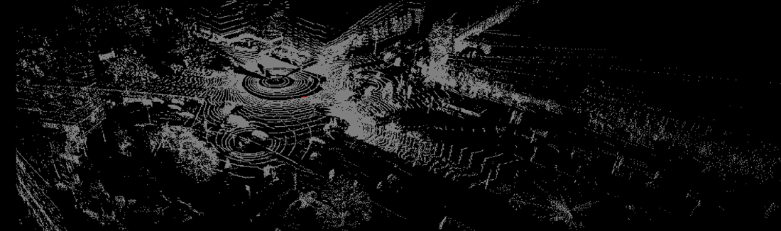
Match the distribution of LUMPI, the Leibniz University Multi-Perspective Intersection dataset recorded in Hannover, Germany. Scored on 8 object categories.

classesPerson · Car · Bicycle · Motorcycle · Bus · Truck · Van · Unknown
range[-40, -40, -5, 40, 40, 5]
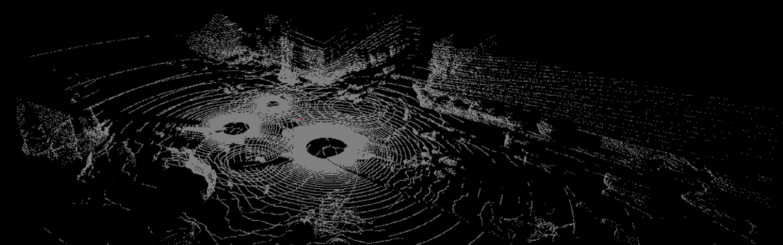
see alsoUT-LUMPI — an UrbanTwin synthetic dataset targeting this distribution, offered as orientation that sim2real transfer is feasible.
Track B — Infrastructure V2X

V2X-Real

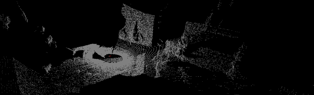
Match the infrastructure-centric distribution of V2X-Real, UCLA Mobility Lab's large-scale vehicle-to-everything cooperative perception dataset. Scored on 3 object categories.

classesvehicle · pedestrian · truck
range[-40, -40, -8, 40, 40, 2]
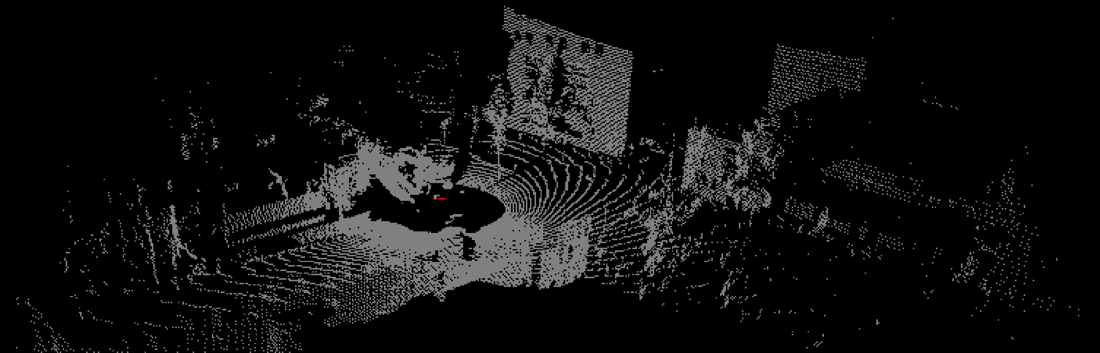
see alsoUT-V2X-Real-IC — an UrbanTwin synthetic dataset targeting this distribution, offered as orientation that sim2real transfer is feasible.
Protocol

How it works

Get the data

Download the public real dataset from its original source, plus the starting kit with 50 real detection-test frames (point clouds only, no labels).

Synthesize

Generate synthetic LiDAR frames with any approach — simulation (CARLA, LGSVL, custom), generative models (diffusion, GANs, flows), or hybrid pipelines.

Train sim-only

Train a 3D object detector — any architecture — on only your synthetic data. No real labels, ever.

Submit

Upload 50 synthetic frames, your detector's predictions on the 50 real test frames, and a signed honor declaration confirming compliance with the challenge rules.

Scoring

Detection and realism, one combined score

Leaderboard rank is a single Combined score. Detection is 3D mAP over the track's categories at IoU 0.5 (KITTI 40-point interpolation). Realism compares your 50 synthetic frames against 50 held-out real reference frames at the dataset level (10,000 points per side, seed 1234).

score_combined = 0.6 × norm( 3D mAP @ IoU 0.5 ) + 0.4 × mean( norm CD, MMD, EMD, FPD )
CD

Chamfer Distance — symmetric squared-L2 nearest-neighbor cost between point sets.

MMD

Maximum Mean Discrepancy — Gaussian-kernel two-sample statistic, median-heuristic bandwidth.

EMD

Earth Mover's Distance — exact Wasserstein-1 with Euclidean cost via network simplex.

FPD

Fréchet Point-cloud Distance — FID-style 2-Wasserstein between fitted 3-variate Gaussians.

Fully reproducible. The exact scoring program that runs on the Codabench worker ships in the starting kit (local_eval.py), together with the public normalization endpoints in config.json — local scores match the server bit-for-bit.

Timeline

Important dates

  • JUL 01, 2026
    Development phase opens
    Public leaderboard. Up to 5 submissions/day, 100 total per participant. Use this phase to iterate.
  • JUL 25, 2026
    Letter of intent
    Tell us you're in.
  • OCT 31, 2026
    Development phase closes
  • NOV 01, 2026
    Final phase opens
    Leaderboard hidden until close. 5 total submissions per participant. Development submissions are not carried over — resubmit your best system.
  • NOV 15, 2026
    Final submissions + challenge report due
    Every team submits a 4–8 page report describing their approach.
  • NOV 25, 2026
    Winners announced
  • DEC 14–17, 2026
    IEEE BigData 2026, Phoenix, AZ
    Winning teams present at the conference's Big Data Cup session.
Prizes

USD 1,000 prize pool

Awarded from the Final-phase leaderboard. Top-3 teams per track are also invited to submit a full paper to the IEEE BigData 2026 proceedings paper track and present in the workshop session in Phoenix.

1st place
$500
2nd place
$300
3rd place
$200
Rules

The integrity contract

Open to anyone — researchers, students, industry teams. One account per team. The foundational rule: 100 frame IDs per track are forbidden — the union of the 50 detection-test frames and the 50 realism-reference frames — enforced by a signed declaration in every submission.

✓ Allowed

  • Any simulation framework or generative model — CARLA, Helios++, OpenScene, NeRFs, diffusion, GANs, custom physics. Open or closed source.
  • Any 3D detector architecture, trained on your synthetic data only.
  • Standard training-time augmentations (rotation, scale, flip, GT-sampling, noise) — they operate on synthetic data.

✕ Forbidden

  • Using real data for training, including fine-tuning. The detector must be trained on your synthetic data only.
  • Training, validating, tuning on — or observing ground truth from — any frame in forbidden_frames.txt.
  • Submitting predictions from a model trained on real labels for any roadside-LiDAR dataset. The detector must be sim-only.
  • Probing submissions designed to reverse-engineer the held-out realism reference set via leaderboard signal.
  • Multiple accounts, sub-team accounts, or coordinating across registered teams.

Organizers may inspect any submission's synthetic frames and predictions for evidence of forbidden-frame leakage. Disqualified participants are removed from the leaderboard and prize consideration. Falsifying the honor declaration is grounds for immediate disqualification.

Reference resources

A documented starting point, not a requirement

We publicly release a complete reference pipeline — synthesis methodology, empirical analysis, ready-to-use synthetic datasets, and open-source LiDAR tooling — for participants who want orientation.

Ready-to-use UrbanTwin synthetic datasets

Two synthetic roadside LiDAR datasets generated with the UrbanTwin pipeline are openly available on the UCF UrbanTwin Dataverse. Each provides fully annotated frames suitable for detection, tracking, and segmentation, and may serve as training data or as a template for participants' own synthesis:

  • UT-LUMPI Digital twin of the Königsworther Platz intersection (Hannover, Germany); ~220K points and 8 road users per frame. doi:10.7910/DVN/D9SSWD
  • UT-V2X-Real-IC Digital twin of the Westwood Plaza intersection (Los Angeles, USA); ~50K points and 14 road users per frame. doi:10.7910/DVN/N6N4UR
Citations

If you use the challenge data, baselines, or scoring code

UrbanTwin publications
@article{shahbaz2026urbantwin,
  title   = {UrbanTwin: Synthetic Roadside LiDAR Datasets},
  author  = {Shahbaz, Muhammad and Agarwal, Shaurya},
  journal = {IEEE Open Journal of Intelligent Transportation Systems},
  year    = {2026}
}

@article{shahbaz2026hifidelity,
  title   = {High-Fidelity Digital Twins for Bridging the Sim2Real Gap in LiDAR-Based ITS Perception},
  author  = {Shahbaz, Muhammad and Agarwal, Shaurya},
  journal = {IEEE Transactions on Intelligent Transportation Systems},
  year    = {2026}
}

@article{shahbaz2025urbantwin,
  title   = {UrbanTwin: Building High-Fidelity Digital Twins for Sim2Real LiDAR Perception and Evaluation},
  author  = {Shahbaz, Muhammad and Agarwal, Shaurya},
  journal = {arXiv preprint arXiv:2509.02903},
  year    = {2025}
}
LiGuard framework
@article{shahbaz2026liguard,
  title   = {LiGuard: A Streamlined Open-Source Framework for Rapid \& Interactive Lidar Research},
  author  = {Shahbaz, Muhammad and Agarwal, Shaurya},
  journal = {IEEE Transactions on Intelligent Vehicles},
  year    = {2026}
}

@article{shahbaz2025liguardjoss,
  title   = {LiGuard: Interactively and Rapidly Create Point-Cloud and Image Processing Pipelines},
  author  = {Shahbaz, Muhammad and Agarwal, Shaurya},
  journal = {Journal of Open Source Software},
  volume  = {10},
  number  = {110},
  pages   = {6751},
  year    = {2025},
  doi     = {10.21105/joss.06751}
}
UrbanTwin synthetic datasets (Harvard Dataverse)
@data{shahbaz2025utlumpi,
  title     = {UT-LUMPI: Synthetic Roadside LiDAR Dataset},
  author    = {Shahbaz, Muhammad and Agarwal, Shaurya},
  publisher = {Harvard Dataverse},
  year      = {2025},
  doi       = {10.7910/DVN/D9SSWD}
}

@data{shahbaz2025utv2xreal,
  title     = {UT-V2X-Real-IC: Synthetic Roadside LiDAR Dataset},
  author    = {Shahbaz, Muhammad and Agarwal, Shaurya},
  publisher = {Harvard Dataverse},
  year      = {2025},
  doi       = {10.7910/DVN/N6N4UR}
}
Underlying real datasets
@inproceedings{busch2022lumpi,
  title     = {LUMPI: The Leibniz University Multi-Perspective Intersection Dataset},
  author    = {Busch, Steffen and Koetsier, Christian and Axmann, Jeldrik and Brenner, Claus},
  booktitle = {IEEE Intelligent Vehicles Symposium},
  year      = {2022}
}

@article{xiang2024v2xreal,
  title   = {V2X-Real: a Large-Scale Dataset for Vehicle-to-Everything Cooperative Perception},
  author  = {Xiang, Hao and others},
  journal = {ECCV},
  year    = {2024}
}
Organizers

UCF Urbanity Lab

Muhammad Shahbaz
University of Central Florida
Shaurya Agarwal
University of Central Florida

Part of the IEEE Big Data Cup 2026 — seven data challenges across AI, science, and society at the 2026 IEEE International Conference on Big Data.